There are no active watches, warnings or advisories for zone MDZ009.
Outside Temperature
Currently 44.1, Max: 53.6, Min: 44.1
Temp: 44.1°F Colder 1.8°F than last hour.
Humidity: 86%
High: 53.6°F
Low: 44.1°F
Dry ---
Feels like: 43°F
24-hr difference -- 6°FWarmer 6°F than yesterday at this time.
Greenhouse Temperature
Currently 43.5°F, Max: 52.5°F, Min: 43.5°F
Temp: 43.5°F
Humidity: 76%
High: 52.5°F
Low: 43.5°F
Wind
 Wind from SW 2.6
Gust: 2.0
60-Min Avg: 2.4 mph
120-Min Avg: 2.1 mph
Max Gust: 6.2 mph 1:08am
Month: 21.9 mph Feb 11
Outside Records
  Highs: Lows:
Today: 53.6°F 44.1°F
12:00am 6:40am
Yesterday: 63.0°F 37.6°F
1:32pm 6:20am
Record: 109.4°F 6.8°F
7/22/2011 1/24/2011
Daytime
Records:
96.4°F
7/24/2010
18.5°F
1/22/2011
Nitetime
Records:
84.7°F
7/25/2010
12.9°F
1/23/2011
Greenhouse Records
  Highs: Lows:
Month: 90.0°F 20.3°F
2/22/12 2/12/12
11:51am 2:38am
Year: 90.0°F 18.3°F
2/22/12 1/3/12
11:51am 11:29pm
Rain
Today: 0.00 in
Yesterday: 0.00 in
Last
Rain:
1/16/2012
4:56 PM
February: 0.00 in
Last 7 Days: 0.00 in
Rain Season: 0.64 in
Rain Days: 3 in 2012
37 days since last rain.
Barometer
Current: 29.028 inHg Rising 0.03 °F/hr
1-Hr Trend: Rising
3-Hr Trend: Rising
Today: Todays High 29.028
Todays Low 28.939
Humidity/Dew Point
Humidity: 86 % Increased 8% since last hour.
Humidex: 42.5°F     
Today: Todays High 49.7     
Todays Low 42.4     
Dew Point: 40.1°F Increased 0.8°F since last hour.
Wetbulb: 42.4°F     
UV Summary/Forecast
02/23/2012   Medium   3.3   
Burn Time: 50 min
02/24/2012   Medium   3.7   
Burn Time: 50 min
02/25/2012   Low   2.7   
Burn Time: 55 min
Heat Index
Current: 44.1°F
Today: 53.6°F  12:00am
Yesterday: 63.0°F
Last Week: 63.0°F
Record: 129.0°F   7/24/2010
Fire Risk
Current Fire Weather Index
Fire Weather Index: MODERATE
Today:
10.1 of 31
Cloud Height
Sun
Daylight:
Possible hours of Daylight
11:04 Hrs + 00:00 Min
Sunrise: 6:50am
Solar Noon: 12:22pm
Sunset: 5:54pm
Moon

Evening Crescent, 1 days, 13 hours, 21 minutes in cycle
2% Illuminated
Moonrise: 7:16am
Moonset: 6:51pm
Full Moon: 3/08/2012
New Moon: 3/22/2012 10:38am
 NWS Weather Forecast  -   Outlook Today & Tonight
Today

Partly Sunny
Partly
Sunny
Hi 65 °F
NWS forecast: Partly sunny, with a high near 65. West wind between 7 and 14 mph, with gusts as high as 24 mph.
Tonight

Chance Showers. Chance for Measurable Precipitation 30%
Chance
Showers
Lo 49 °F
NWS forecast: A chance of showers. Cloudy, with a low around 49. Calm wind becoming southeast between 7 and 10 mph. Chance of precipitation is 30%. New rainfall amounts of less than a tenth of an inch possible.
 NWS Short Term Weather Forecast
Tonight

Chance Showers. Chance for Measurable Precipitation 30%
Chance
Showers
Lo 49 °F
Friday

Chance Showers. Chance for Measurable Precipitation 30%
Chance
Showers
Hi 63 °F
Friday
Night

Breezy
Breezy

Lo 33 °F
Saturday

Breezy
Breezy

Hi 46 °F
Saturday
Night

Mostly Clear
Mostly
Clear
Lo 28 °F
Sunday

Sunny
Sunny

Hi 45 °F
Sunday
Night

Mostly Clear
Mostly
Clear
Lo 31 °F
Monday

Partly Sunny
Partly
Sunny
Hi 53 °F

Regional Radar Regional Infrared Satellite
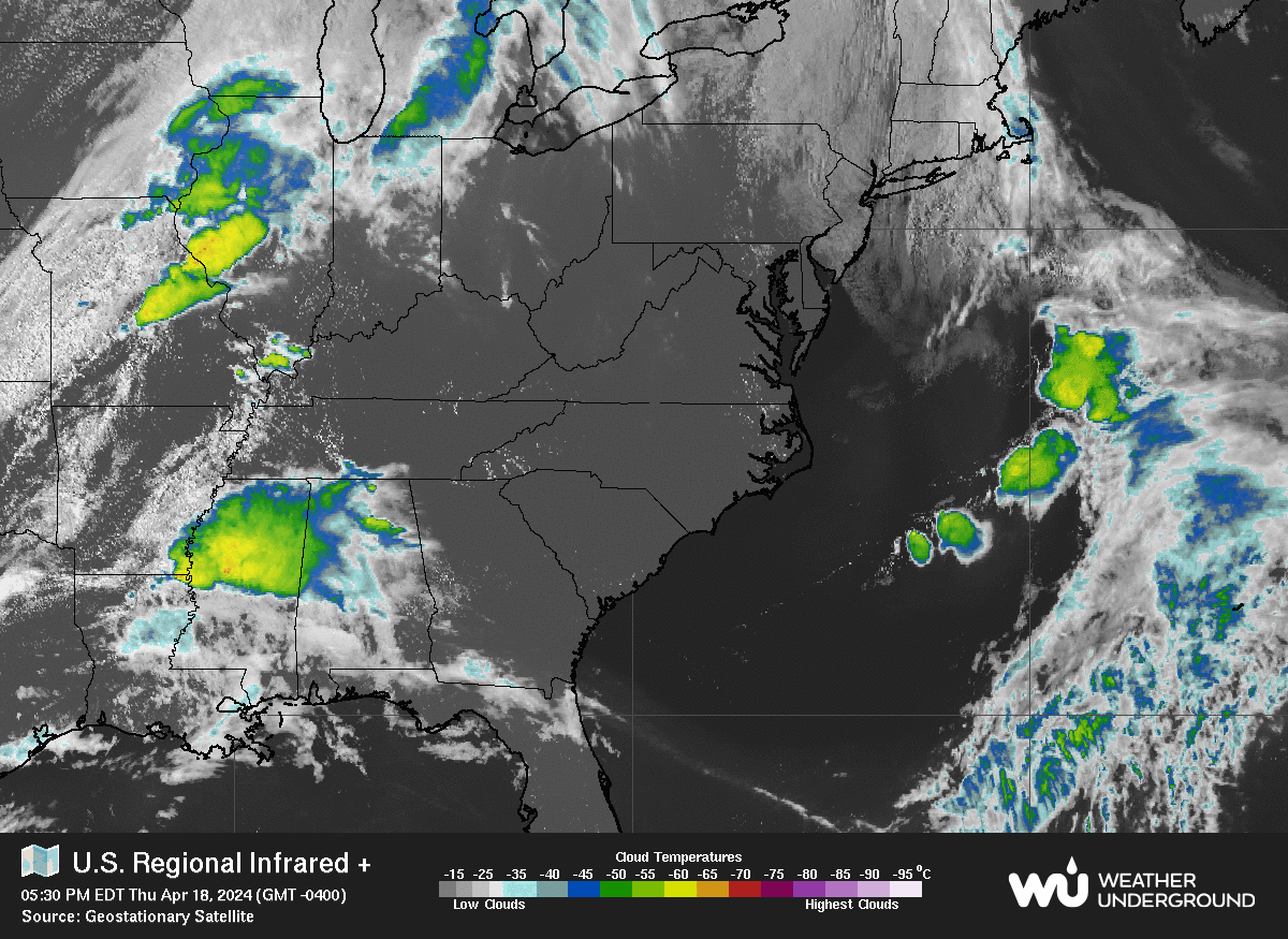
Radar/Satellite images courtesy of Weather Underground.